Why Your Ancestor's Village Is the Key to Unlocking Family Records
For many Ukrainian-Canadians, particularly those whose families settled in the prairie provinces of Alberta, Saskatchewan, and Manitoba, or even the Maritimes like Prince Edward Island, the initial hurdle in genealogical research is often pinpointing the ancestral village in Galicia. Unlike many other immigrant groups who might have arrived from larger cities or well-documented regions, Ukrainian immigrants from the late 19th and early 20th centuries predominantly hailed from thousands of small agricultural villages across what was then the Austro-Hungarian province of Galicia. This specific village name is not merely a detail; it is the absolute cornerstone of all subsequent research. Without knowing the precise village, navigating the vast and often complex archival landscape of Eastern Europe becomes an almost impossible task. Records were kept at the local level, primarily by parish priests or village scribes, and these records are organized and stored by locality. Common surnames like Kowalchuk, Fedoruk, or Hrytsko are found in countless villages, making a geographical anchor indispensable for distinguishing your family from others with the same name. Learn more about Ukrainian village name research.
The journey from a vague understanding of "the old country" to a specific village name allows genealogists to transition from broad historical context to concrete family history. Once the village is identified, it opens doors to a wealth of historical documents: church records (baptisms, marriages, burials), cadastral records (land ownership), census records, and even school or military documents, all of which are meticulously tied to a specific geographic location. This localization is further complicated by the multi-ethnic and multi-religious fabric of Galicia, where Ukrainian Greek Catholics, Polish Roman Catholics, Jews, and other groups often lived side-by-side, each maintaining their own distinct records. Therefore, knowing not only the village but also the religious affiliation of your ancestors is paramount. The meticulous mapping and directory-keeping efforts of the Austro-Hungarian Empire, though designed for administrative and taxation purposes, inadvertently created an invaluable resource for today's family historians, providing the essential tools to identify and confirm these ancestral villages.
The Topographische Karte: Austria-Hungary's Detailed Map of Galicia
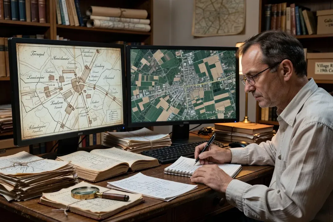
Among the most invaluable resources for identifying and understanding your ancestral village are the detailed topographic maps produced by the Austro-Hungarian Empire. The most significant series for Galicia is often referred to as the "Third Military Survey" or the Topographische Karte des Königreichs Galizien und Lodomerien. These maps, primarily at scales like 1:75,000 or 1:25,000, offer an extraordinarily detailed snapshot of the Galician landscape during the late 19th and early 20th centuries, precisely the period when many Ukrainian ancestors were living there before emigrating. They depict not only the location of villages and towns but also individual farmsteads, churches, mills, roads, rivers, forests, and even subtle topographical features. For a genealogist, these maps are crucial for confirming the location of a village, identifying its immediate neighbours, and understanding the physical environment in which ancestors lived and worked. They can help visualize the journey to the nearest market town or the path to the parish church, offering a tangible connection to the past.
These maps are often available in various editions, reflecting changes in the landscape or administrative boundaries over time, which can be useful for tracking village development. While not explicitly marking administrative divisions like powiats (districts) or Bezirk (administrative units), their detailed geographic representation allows researchers to infer these boundaries by observing the clustering of villages around administrative centres. Finding these maps often involves searching historical map archives online, such as those maintained by national libraries, universities, or specialized historical geography websites. Many digital repositories now host high-resolution scans of these precious documents, allowing researchers to zoom in and explore the minute details of their ancestral village from the comfort of their home. Consulting different map series and editions, such as the Topographische Karte K.u.k., can provide a comprehensive understanding of the village's layout and its relationship to the surrounding region, helping to confirm a village's identity when dealing with similar names or ambiguous records.
Cadastral Maps: Who Owned the Land Your Ancestors Farmed?
Beyond the general topography, cadastral maps provide an even more intimate glimpse into the specific layout of your ancestral village and the landholdings within it. The Franziszeischer Kataster, or Franciscan Cadastre, initiated in the early 19th century and periodically updated, was a comprehensive land survey designed primarily for taxation purposes across the Austro-Hungarian Empire. These maps are incredibly detailed, showing individual land parcels, their boundaries, and often, the associated house numbers within the village. More importantly for genealogists, the accompanying cadastral registers (Grundbücher or Księgi gruntowe) list the names of the landowners for each parcel, providing direct evidence of your ancestors' connection to specific plots of land. This level of detail is unparalleled, allowing researchers to visualize not just the village, but the very fields and homesteads where their families lived and toiled for generations.
The value of cadastral maps lies in their ability to link families to specific physical locations within the village. House numbers, prominently displayed on these maps, are often referenced in other records such as church registers, census enumerations, and even military drafts. If your ancestor's baptismal record mentions "House No. 42," consulting the cadastral map for that village and period can pinpoint the exact location of their family home. This provides a rich layer of context, allowing you to trace the evolution of family landholdings, identify neighbouring families, and understand the social geography of the village. Accessing these maps and their corresponding registers often requires consulting specialized archives. The Central State Historical Archives of Ukraine in Lviv (TsDIAL) holds extensive collections of Galician cadastral maps and registers. Online initiatives like ICARE (International Centre for Archival Research) also provide digital access to some cadastral records, making this incredibly valuable resource more accessible to Ukrainian-Canadian genealogists eager to literally map out their family's presence in the old country.
Historical Gazetteers and Village Directories of Galicia
Once you have a potential village name, historical gazetteers and village directories become indispensable tools for confirming its existence, location, and administrative context. These publications, often compiled for administrative, statistical, or commercial purposes by the Austro-Hungarian authorities, provide crucial details about thousands of villages across Galicia. Unlike modern maps that might only show current names, these historical resources list villages by their names as they were known during the empire's rule, often including alternative spellings or earlier designations. A gazetteer typically provides information such as the village's administrative district (known as a powiat in Polish or Bezirk in German), its nearest market town, the religious parishes (Greek Catholic, Roman Catholic, Jewish, Protestant) that served its inhabitants, population figures, and sometimes even a list of prominent residents, businesses, or public services like schools and post offices. Learn more about accessing the Lviv State Historical Archives (TsDIAL). For broader context, see Carpathian region historical geography and Galician village origins.
For Ukrainian-Canadian genealogists, these directories are vital for several reasons. Firstly, they help confirm that the village name passed down through family oral tradition actually existed and was located in Galicia. Secondly, they assist in distinguishing between identically named villages—a common occurrence in the region—by providing their specific administrative affiliations. Knowing the powiat or Bezirk is critical because most archival records are organized by these administrative units. Thirdly, these resources often list the specific religious parish serving the village, which is paramount for locating church records. While the well-known Meyers Gazetteer primarily covers the German Empire, its methodology illustrates the utility of such tools. For Galicia specifically, researchers should seek out resources like the Gemeindelexikon der im Reichsrate vertretenen Königreiche und Länder, published by the Austrian government, or various Polish and Ukrainian statistical yearbooks and directories from the late 19th and early 20th centuries. Many of these have been digitized and can be found through online libraries, university collections, or specialized genealogical websites like Genea-Ukraina, which often provides links and indices to these invaluable historical texts.
Free Online Tools for Galician Village Research in 2026
The digital age has revolutionized genealogical research, and for Ukrainian-Canadian genealogists tracing their Galician roots, a host of free online tools are now available in 2026 to aid in village identification and contextualization. One of the most critical starting points is the FamilySearch Wiki. This extensive resource provides detailed articles on historical administrative divisions, record types, and research strategies for various regions, including Galicia (often listed under Poland or Ukraine). Crucially, the FamilySearch Catalog allows researchers to search for records by locality, and once a village is identified, you can often find microfilmed or digitized church records, civil records, and even cadastral materials linked directly to that location. It’s a treasure trove of information that can guide you to specific record collections held in archives. Learn more about Ukrainian Orthodox church records in Canada.
Another indispensable tool is Geopedia.si, a Slovenian-based platform that offers a powerful historical map viewer and gazetteer. While focused on the Slovenian territories, its historical map layers often extend to neighboring regions, including parts of Galicia. Its ability to overlay historical maps with modern satellite imagery, search for historical place names, and identify administrative boundaries makes it incredibly useful for geographical orientation and verifying village locations across different time periods. Additionally, specialized websites like Genea-Ukraina provide a wealth of information tailored specifically for Ukrainian genealogy, including lists of villages, historical administrative data, and links to online record collections or indexes. While Ancestry.ca might be the go-to for many North American records, its utility for Galician research often comes later, once the specific village and record types are known, allowing you to search for indexed records or digitized collections available through their platform. By leveraging these free resources in conjunction, genealogists can build a robust understanding of their ancestral village's history and geographical context.
From Village Name to Archive Collection in 3 Steps
Once you have identified a potential ancestral village in Galicia, the next critical step is to bridge the gap between that name and the actual records held in archives. This process can be broken down into three essential steps for Ukrainian-Canadian genealogists. Step one involves confirming the village name and its precise location within the historical administrative structure of the Austro-Hungarian Empire. This means identifying the specific powiat (district) or Bezirk (administrative unit) to which your village belonged during the period your ancestors lived there. As discussed, historical gazetteers and maps are invaluable for this, as they provide the administrative context necessary to locate records. Many villages shared names, so confirming the correct administrative district is vital to avoid researching the wrong location. This step also involves verifying the spelling variations of the village name, as they could appear differently in various historical documents or across languages.
Step two is to identify the relevant parish that served your ancestral village. For Ukrainian Greek Catholics, this would be the Greek Catholic parish; for Roman Catholics, the Latin Rite parish; and similarly for Jewish or Protestant communities. Records were maintained at the parish level, not directly by the village itself. A village might have its own church, or its residents might have attended a parish in a nearby larger town. Historical gazetteers often list the religious affiliations and the names of the associated parishes for each village. This information is crucial because archival collections are typically organized by parish. For example, the records for a Greek Catholic family in the village of Bilka might be found under the Greek Catholic parish of Bilka, or if Bilka was a filial village, under the parish of a larger village like Stare Selo.
Step three involves determining the current archival repository for these records and how to access them. For the vast majority of historical records from Austrian Galicia, the primary repository is the Central State Historical Archives of Ukraine in Lviv (TsDIAL). Once you know the village and its associated parish, you can then navigate TsDIAL's online catalog, which is increasingly available in English, to search for the specific parish's record collection. These collections are often listed by denomination, then by the parish name, and contain various record types such as metrical books (births, marriages, deaths), census records, and sometimes property documents. If direct digital access isn't available, the catalog will provide the fund, inventory, and file numbers necessary to request copies of records, either by contacting the archives directly or by hiring a local researcher. Understanding this three-step process streamlines the often-challenging transition from a family story to tangible archival evidence.
When the Village Name Changed: Polish, Soviet, and Ukrainian Renamings
One of the most significant challenges in tracing Ukrainian ancestry from Galicia is the frequent renaming of villages throughout the 20th century. The political landscape of this region has shifted dramatically, leading to waves of name changes that can obscure the original identity of your ancestral village. Following the collapse of the Austro-Hungarian Empire and the establishment of the Second Polish Republic after World War I, many villages with predominantly Ukrainian names were Polonized. This involved either slight phonetic adjustments to make them sound more Polish or, in some cases, complete renaming. For example, a village named "Hlukhiv" might become "Głuchów." After World War II and the incorporation of Eastern Galicia into the Ukrainian Soviet Socialist Republic, another wave of renaming occurred, often replacing Polish names with Ukrainian or Soviet-era designations. Finally, with Ukrainian independence in 1991, some villages saw further adjustments or reversions to historical Ukrainian names. Learn more about the 1906 prairie census records.
Navigating these name changes requires careful research and flexibility in your search strategy. The village name your ancestors knew and recorded on their immigration documents might be entirely different from its current official designation or its name during an intermediate period. To overcome this, genealogists must utilize historical gazetteers and maps from different eras. By cross-referencing maps from the Austro-Hungarian period (like the Third Military Survey), the interwar Polish period, and the Soviet era, you can often track the evolution of a village's name. Specialized online databases, such as Geopedia.si or Genea-Ukraina, sometimes include historical name variations, allowing you to search for multiple spellings or previous names. Additionally, consulting local histories or community forums dedicated to specific regions of Ukraine can often provide invaluable insights into village name changes and local historical context. When searching for records, it's always advisable to use the name that would have been current at the time the record was created, and to be prepared to search for several variations to ensure you don't miss crucial documents due to a name discrepancy. This diligent approach is essential to successfully connect your family's past with the modern geographical reality of Ukraine.
Frequently Asked Questions
Start with the oldest family documents in your possession: ship manifests, naturalization papers, homestead files, and church records. Each of these sources may contain a village of origin under different historical spellings. Once you have a candidate name, use the ICARE database (icare.genealogy.net.ua) or Meyers Gazetteer for spelling variants. Compare your result against the Topographische Karte K.u.k. and the Franziszeischer Kataster cadastral maps on Geopedia.si or the David Rumsey Map Collection. FamilySearch's wiki page "Galicia" provides a step-by-step guide tailored for genealogists.
A cadastral map is an official government survey showing land ownership boundaries, field names, and village layouts at a specific historical moment. For Galicia, the Franziszeischer Kataster (Franciscan Cadastral Survey, completed 1820–1867) is the most genealogically useful series. Scanned cadastral maps for thousands of Galician villages are available free at Geopedia.si (search by village name under the Ukraine/Poland layer). The AGAD archive in Warsaw holds original cadastral documents for Galician villages that fell within the Polish partition.
Galician village names changed multiple times across the twentieth century. Under Austria-Hungary (before 1918) official names were often German or Polish romanizations of Ukrainian names. After 1918 Polish administration standardized names in Polish. Soviet occupation after 1939 and again after 1944 renamed many villages, replacing Polish or Ukrainian names with Soviet ideological or Russian-language variants. Independent Ukraine after 1991 has systematically Ukrainianized these names. The same village may therefore appear as Lipowiec (Polish), Lypovets' (Ukrainian), or Lipovets (Russian). The ICARE gazetteer and the website Nacarstvo.org.ua provide historical name variant cross-references.